Originally published 28 August 2005
Ireland is divided into four provinces and thirty-two counties, and these are further divided into some 60,000 townlands. Names lay thick upon this land. I live in the townland of An Baile Beag, anglicized as Ballybeg, which simply means in Irish “little townland.” Other nearby townlands have rather more romantic names: Carhoonaphuca, say, “the fairies’ quarter.”
Many townland names in our parish go back to Celtic times, some perhaps even earlier. Caherbullig is Cathair Bolg in Irish. Cathair is “fort.” Bolg seems to refer to a god of the Fir Bolg, a pre-Celtic people who may have settled here. Many placenames evoke the mythic battle that supposedly took place on our beach between the invading forces of Dáire Donn, the King of the World, and the Fianna warriors of Ireland, led by the legendary Finn McCool. There is a field called Cluain na Fola, “field of blood,” and another called Cuin na dtrean Fhir, “slaughter of mighty men.”
Within a townland every road, field, and natural feature has a name, the origins of which are often lost in the past. Linguists excavate the history of Ireland from its placenames in the same way that archeologists turn up history from the soil.
Few people have listened as attentively to the names of places as Tim Robinson, who came to Ireland from Britain 1972 to live among the people of the Aran Islands. He subsequently produced extraordinarily beautiful maps of the Aran Islands, the limestone Burren of County Clare, and the coast of Connemara, and several marvelous books on Aran itself. It was placenames that called out to Robinson most insistently for understanding, and these led him deep into Irish language and culture. He was required to become a scholar of the human and natural histories of the landscapes he mapped and wrote about.
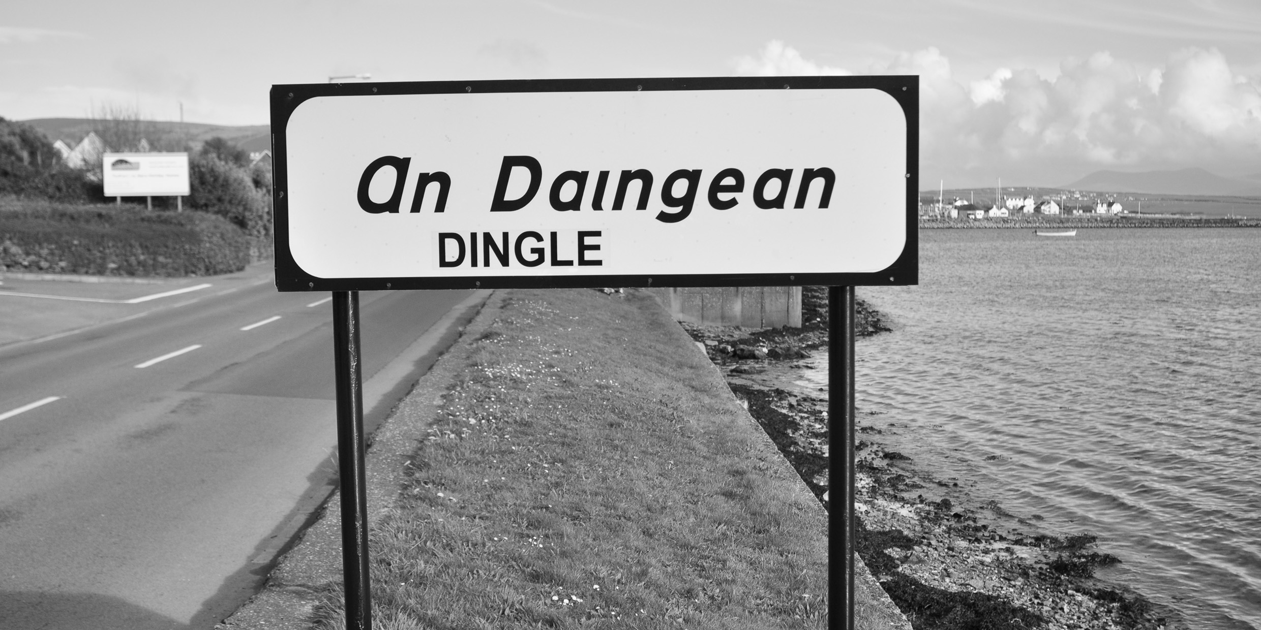
In the introduction to his map of the Aran Islands, Robinson writes: “I think of details far beyond the powers of resolution of this map — a little field called An Dug, the dock, because it is shaped like a Galway harbour, another called Dingle because its soil came from [the Dingle Peninsula in] Kerry as ballast in boats coming for kelp, a third called Moinin an Damhsa, the little meadow of the dancing, because someone saw the fairies dancing there…In countless placenames the web of stone has caught something of the words of those generations, who were hard-pressed that all their toil left them possessing nothing — scarcely a musical instrument, a cart for seaweed or a boat to fish this teeming sea — nothing but the immaterial arts they were so rich in, of talk and song.”
Ireland is a particularly suitable environment for the independent cartographer with an ear for the talk and the song. The first systematic maps of the country were drawn by British engineers who generally did not speak the Irish language and cared little for the culture. In countless cases they simply wrote down placenames as they heard them, and the results seldom matched reality. For example, “The Wood of the Berries,” in Irish “Fidh na gcaer,” is rendered on the maps as Vinegar. Many such English abominations still clutter Irish maps.
Robinson’s maps and books make clear how important it is that a cartographer be in sympathy with the language and culture of the place he maps. Much of the world was mapped in the days of empire by cartographers of the great colonial powers. Those maps may have adequately served the needs of empire, but they often obscured or corrupted a rich legacy of indigenous culture.
I spent most of my adult life in New England, with its overlay of English names brought to the New World by colonists. “Falmouth,” for example, is perfectly at home at the mouth of the river Fal in Cornwall, but rests unconformably upon the landscape of Cape Cod. I was fortunate to have grown up in a place that held on to its Native American name: Chattanooga, “rock coming to a point,” a lovely word that vividly evokes the mountain that overlooks the city.
To recover the wealth of local culture implicit in placenames, it is necessary that the cartographer be something of a linguist, historian, archeologist, and perhaps, like Robinson, a poet too. There are ample opportunities for sensitive independent cartographers to ply a successful trade in many parts of the world. How valuable it would be, for example, to have a Robinson-like map of Cape Cod, sensitive to the precolonial culture of the Native Americans and to the unique geology and natural history of that region.
Tim Robinson’s maps and books honor the landscapes they describe. As invitations, they irresistibly beckon the archeologist, botanist, geologist, bird-watcher, folklorist, student of the Irish language, or just plain tourist. The maps have won design awards in Britain and Europe, and have been praised by artists and scientists alike. I played some small part in having an excerpt from Robinson’s Stones of Aran included in the newest edition of The Norton Book of Nature Writing. One can only hope that his work will inspire similar efforts elsewhere.


