Originally published 1 July 1985
In his book Conversations with the Earth, German geologist Hans Cloos described the moment when he “became a geologist forever.” It did not happen at university. It did not happen with the passing of an exam or the awarding of a degree. It happened one morning in Naples, Italy, when Cloos opened the window of his hotel room and saw the smoking cone of Vesuvius looming above the still-sleeping city. At that moment he had the realization that motivated a lifetime of creative work in geology: The Earth is alive.
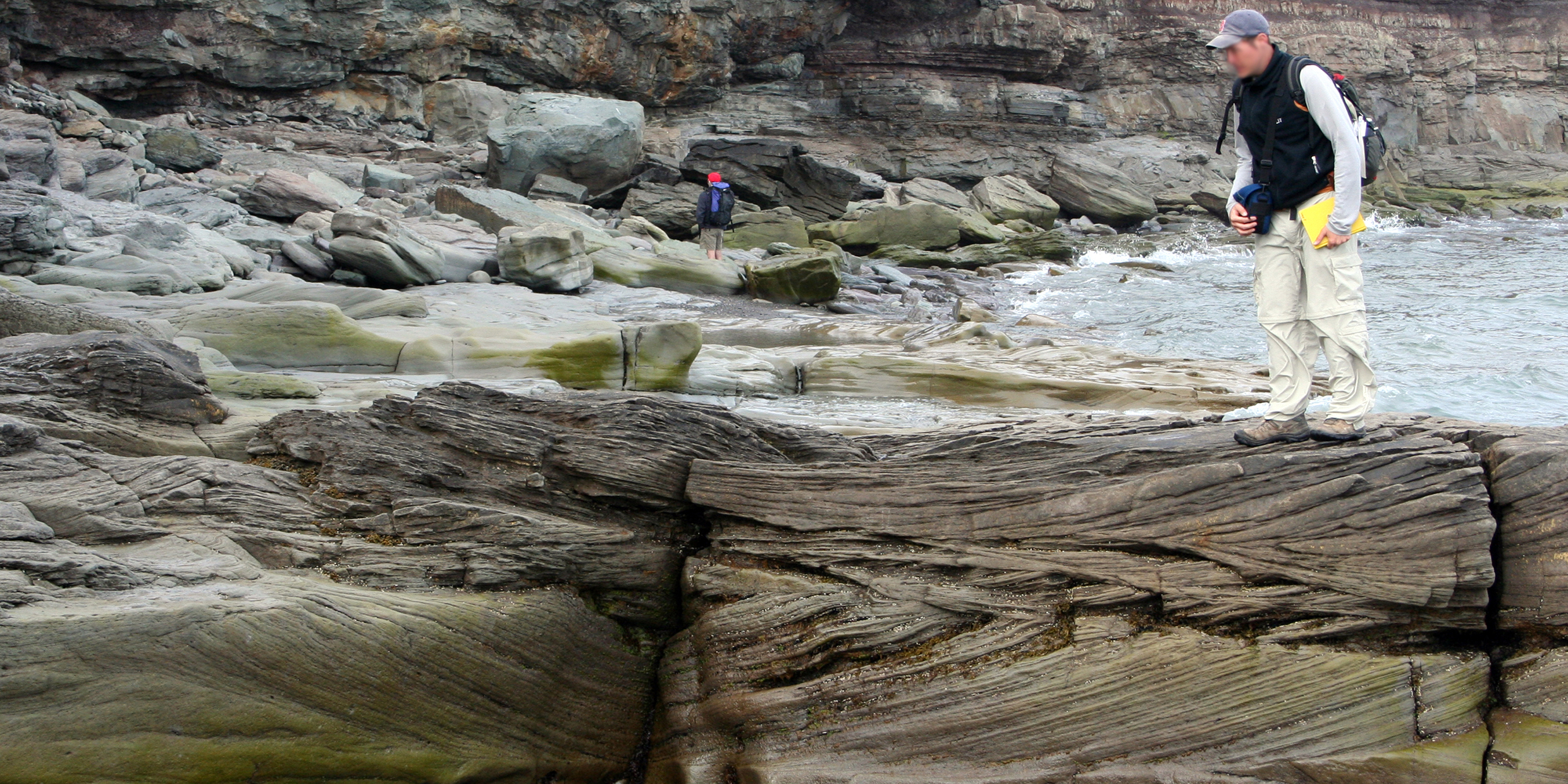
Cloos had a special gift for reading the story of the past in the rocks of the present. I thought of him — and of the living Earth — as I inspected some massive sandstone boulders on a hill near my home in Easton, Massachusetts.
The sandstone was layered in delicate alterations of a fine red sand, known to geologists as the Wamsutta formation, and a coarser gray sand, known as the Rhode Island formation. The sands had been deposited in a low-lying basin nearly 300 million years ago, and subsequently consolidated into stone.
On the face of one of the largest boulders was a beautiful example of “cross-bedding,” layers of sand that did not lie flat in parallel planes, but instead swept upward in banked curves that were truncated by other layers curving upwards in quite different directions. Cross-bedding of this sort spoke of the deposition of the sands by currents, at a place where spirited streams gave up their suspended sediments and tumbled gravels to the sluggish waters of a lake or shallow sea, quite possibly at the delta of an ancient river that flowed from high mountains.
Tropical New England
The Wamsutta and Rhode Island sandstones contain interbedded coals and black slaty shales of a vegetative origin: the place of their deposition was swampy. The image that came to mind was wild, wet, and tropical, more like the basin of the Amazon than present-day New England.
In fact, 300 million years ago New England lay in equatorial latitudes. North America was part of a unified land mass that embraced all of the present continents, a supercontinent geologists call Pangaea (all-Earth). The supercontinent had been assembled south of the equator by collisions of drifting continental fragments, and was itself slipping slowly northward as part of the ongoing movements of the “eggshell” plates that make up the Earth’s crust. The mighty ancestral Appalachians stood along the suture where the component land masses had been joined, and from these mountains vigorous streams carried sand and gravel into swampy basins.
How can geologists be so confident in telling this story of a time when New England lay athwart the equator? The answer has to do with the Earth’s magnetic field.
The lines of force of the magnetic field come out of the Earth near the south magnetic pole, sweep around the curve of the Earth above the equator, and plunge back into the Earth near the north magnetic pole. Near the poles, the inclination of the field is perpendicular to the surface of the Earth. Near the equator, the field lies parallel to the surface. In general, the inclination of the field varies with latitude.
Rocks reveal latitude
Volcanic rocks have a way of preserving a record of the orientation of the Earth’s magnetic field at the time they are formed. When the rocks are still in the molten state, iron minerals in the rock line up with the Earth’s field, like iron fillings near a magnet. When the rock solidifies, the magnetic field is frozen into place.
Today, geologists collect samples of volcanic rock from the Earth’s continents. These specimens, drilled from the rock, are about the size of a roll of quarters. They are returned to a properly equipped lab and the direction of their magnetism is measured. The result gives an approximate latitude for the rocks at the time of their formation. The 300 million-year-old volcanic rocks of North America speak eloquently of horizontal fields and, therefore, tropic latitudes.
So, the Earth is alive. The continents move. Climates change. Mountains are raised by colliding continents and are worn away by water and time. Mountains are tumbled into lowland basins. Mountains are crumbled into sand and deposited as cross-bedded sediments in swampy river deltas. Continents shift and bend and buckle, and ancient tropical swamps are lifted onto the tops of northern hills, where they lie today.


