Originally published 2 September 2003
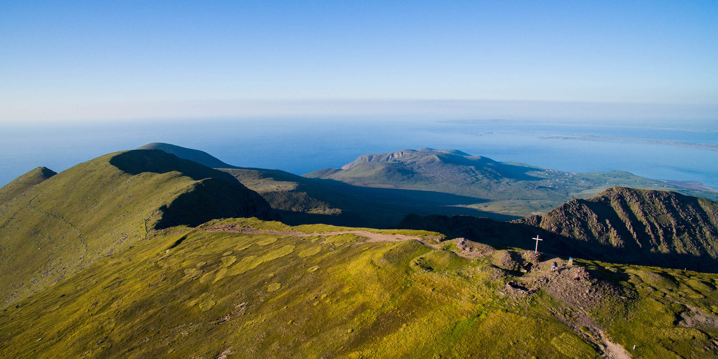
DINGLE, Ireland — On the summit of Mount Brandon, near my summer home on Ireland’s Dingle Peninsula, is a square concrete pillar about 4 feet high.
The pillar was put in place sometime during the 1960s by the Irish Ordnance Survey, the national mapping agency, for mounting a theodolite, a telescopic survey instrument. Similar pillars can be found on other summits throughout Ireland.
The first cartographers to carry theodolites to Irish mountaintops were agents of the British Ordnance Survey, during the 19th century, when Ireland was a British colony. They had no concrete pillars then; they mounted their instruments on temporary tripods and braced them against the wind.
In 1824, the British Parliament authorized the mapping of Ireland on a scale of 6 inches to one mile. At this scale, a map of Ireland would cover half a football field. No such large-scale countrywide survey had ever before been attempted, anywhere in the world.
The first step in this gigantic project was a “primary” trigonometric survey that would define precisely the general form of the island. Forty-five hilltop locations scattered about Ireland were selected to be the vertices of a spider web of triangles. If the angles of a triangle are measured — with theodolites — the relative sizes of the sides of the triangle can be computed. If every triangle shares one or more sides with other triangles, all that remains is to measure one side of one triangle for the whole web to be determined.
To this end, a base line nearly 8 miles long was laid out along the shore of Lough Foyle in County Derry, and measured with unprecedented precision. From there a net of interlocking triangles was cast over Ireland.
For decades, British surveyors lugged their massive theodolites to the tops of mountains, and waited for clear weather that would enable them to catch a glimpse of reflected sunlight — from an instrument called a heliostat — or, at night, the gleam of a limelight lantern, from other mountaintops dozens of miles away.
It was difficult and dangerous work. Sometimes surveyors were blown out of their tents by raging gales. One man was killed.
In 1840, a survey team reached the summit of Mount Brandon. They peered through their instrument to other hilltop stations, on the Iveragh Peninsula across Dingle Bay, at Taur Mountain to the east on the Cork-Kerry border, and even as far away as Bencorr in Connemara.
From the summit of Brandon, on a rare clear day, I have caught a glimpse of the Aran Islands, 65 miles away. But seeing a glint of reflected sunlight or a lantern’s beam from a Connemara mountaintop 30 miles further on strikes me as a nearly miraculous act of patience with the Irish weather.
When the primary trigonometric survey of Ireland was complete, each triangle was subdivided into a net of smaller triangles, then the area within each small triangle was plotted by men on the ground with measuring chains.
The maps that resulted from this project are beautiful, and remain today the representation of their island upon which the Irish project their human affairs. When we bought our property in Ireland, a map based on the 19th-century survey was used to denote the transaction, the boundaries having remained essentially unchanged for more than a century.
Mapmakers no longer clamber to mountaintops to do their surveys. The bracing of theodolites in howling winds has been superseded by mapping technologies based on earth-orbiting satellites.
Today, any hillwalker with a pocket-sized GPS (Global Positioning System) device can know where he or she is with an accuracy equal to that of the 19th-century surveyors. With a few clicks of a mouse I can see on the screen of my computer a satellite photograph of almost any place on the earth’s surface.
Still, we have those concrete pillars on the mountain summits to remind us of the ingenuity and physical stamina of the earlier surveyors, who worked with far more basic technologies. To paraphrase Isaac Newton: if we see further than our predecessors, it is because we stand on the shoulders of giants.


