Originally published 14 September 2019
Lisdoonvarna, Ireland — A map is an invitation into a landscape. The maps of British cartographer Tim Robinson are irresistible invitations.
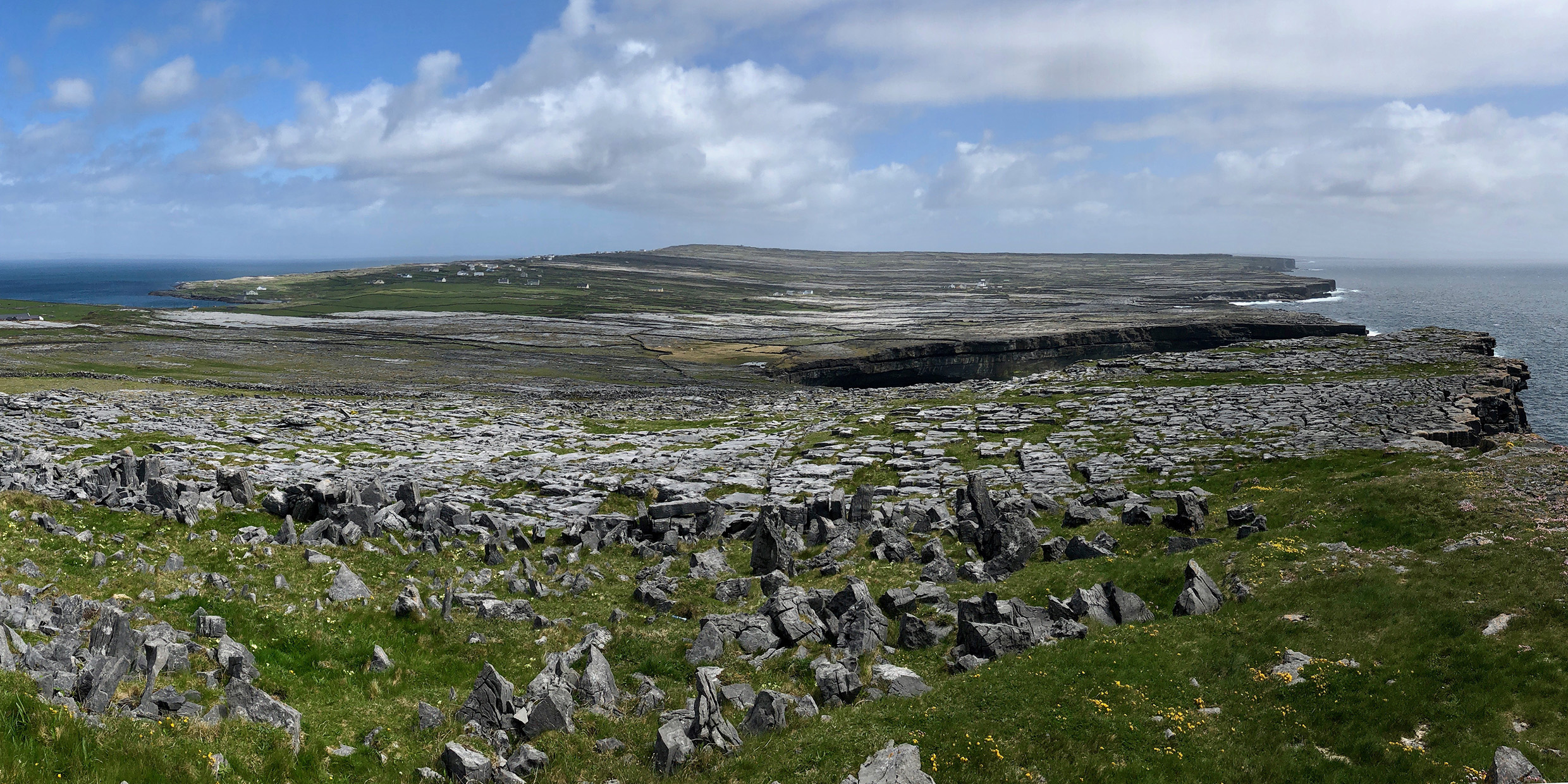
Robinson lives and works in the west of Ireland. During the past 15 years, he has completed maps of the Aran Islands, the Burren of County Clare, and the coast of Connemara, three parts of Ireland renowned for their natural beauty. His carefully crafted maps not only express the physical geography of a region; they also somehow magically evoke what they can’t describe — the texture of the rock underfoot, the feel of the wind, the sound of the birds, the language and culture of the people.
Tim Robinson is that rarest of birds, a private cartographer whose work rivals the national mapping agencies in scale and detail. And he brings to his craft what the national mapping agencies cannot — an intense personal involvement with the landscape. His maps are first-rate examples of scientific cartography, and they are equally successful as works of art.
Robinson came to cartography in a roundabout way. He studied mathematics at Cambridge University, and worked as a teacher and artist in Istanbul, Vienna, and London. In 1972 he came to the Aran Islands in the west of Ireland and fell into mapping serendipitously. No good tourist map of the islands was available, and the local postmistress suggested that he might fill the need. He had, he says, “a hand for the drawing, an ear for the placenames, and legs for the boreens [little roads].”
Robinson is a draftsman with a deft and delicate hand. He utilized as guides satellite photographs supplied by the Ordnance Survey of Ireland. But what make his work unique is something that cannot be derived by what contemporary cartographers call “remote sensing.” They are legs for the boreens and an ear for the placenames that are Robinson’s special gifts.
Every name a story
In places like the west of Ireland, every field, every rock, every cleft in the cliff has a name, and every name a story. The study of placenames led Robinson deep into Irish language and culture. He became a scholar of the human and natural histories of the landscapes he mapped. He spent time with the old people of each region and listened to their tales. And he devised ways to include a remarkable amount of this information on his maps and in the generous marginal notes that accompany them.
Any map, of course, must leave out far more than in includes. Here is Robinson in the introduction to his map of the Aran Islands:
“As I write I think of details far beyond the powers of resolution of this map — a little field called An Duga, the dock, because it is shaped like a Galway harbor, another called Dingle because its soil came from [the Dingle Peninsula in] Kerry as ballast in boats coming for kelp, a third called Móinín an Damhsa, the little meadow of the dancing, because someone saw the fairies dancing there… In countless placenames the web of stone has caught something of the words of those generations, who were hard-pressed that all their toil left them possessing nothing — scarcely a musical instrument, a cart for seaweed or a boat to fish this teeming sea — nothing but the immaterial arts they were so rich in, of talk and song.”
Ireland is a particularly suitable environment for the independent cartographer with an ear for the talk and the song. The first systematic maps of the country were drawn by British engineers who generally did not speak the Irish language and cared little for the culture. In countless cases they simply wrote down placenames as they heard them, and the results seldom matched reality. For example, “The Wood of the Berries,” in Irish Fidh na gcaer, is rendered on the maps as Vinegar. Many such English abominations still clutter Irish maps.
Colonial mappers
Robinson’s maps make clear how important it is that a cartographer be in sympathy with the language and culture of the place he maps. Much of the world, including most of the so-called Third World, was mapped in the days of empire by cartographers of the great colonial powers. Those maps may have adequately served the needs of empire, but they often obscured or corrupted a rich legacy of indigenous culture.
To recover the wealth of local culture implicit in placenames, the cartographer must be something of a linguist, historian, archeologist, and perhaps, like Robinson, a bit of the poet.
There are ample opportunities for sensitive independent cartographers to ply a successful trade in many parts of the world. How valuable it would be, for example, to have a Robinson-like map of Cape Cod, sensitive to the precolonial culture of the Native Americans and to the unique geology and natural history of that region.
Tim Robinson’s maps do honor to the landscapes they describe. As invitations, they irresistibly beckon the archeologist, botanist, geologist, bird-watcher, folklorist, student of the Irish language, or just plain tourist. The maps have won design awards in Britain and Europe, and have been praised by artists and scientists alike. One hopes they will become better known and inspire similar efforts elsewhere.
Online versions of Tim Robinson’s maps of the Aran Islands, the Burren, and Connemara are available at NUI Galway Digital Collections. ‑Ed.


